Boundary Surveys Vs. Topographic Surveys


Land Survey Map

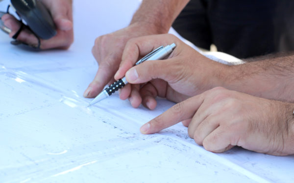
There are many types of land surveys you can have done on your property, each of which has its own purposes and uses. Two of these are boundary surveys and topographic surveys. Often, one or both of these surveys are necessary if you are looking to purchase, sell, or develop a parcel of land. Here, we’ll go over the uses of these two surveys and how they differ.


Boundary Surveys


A boundary survey does basically what the name implies: it plots out the boundary lines of a parcel of land. This is important when buying or selling land since it provides specific information about where the property ends and where it begins. This helps keep improvements from encroaching on other properties and ensures a fair sale.

In addition to pinning down the precise boundary lines, many types of boundary surveys provide extra information, such as:

• The locations of any easements (permissions to enter or cross the property, such as for utilities)
• Encroachments, or improvements on other properties that intrude into the plot
• Limitations, including zoning regulations

Certain boundary surveys, such as ALTA/NSPS surveys, will include even more information in accordance with ALTA and NSPS standards.


Topographic Surveys


One bit of information that many boundary surveys do not provide is topographical data, or the elevations and contours of the land described in the deed. These surveys will also provide information on any structures on the land, both man-made and natural. This is especially useful for those who intend to develop the land since it gives detailed information on where different features are located.

Features shown on a topographic survey may include:

• Trees
• Slopes, hills, valleys, and other changes in elevation
• Streams and rivers
• Buildings
• Streets and walkways
• Utility poles
• Manholes
• Fences and walls

The elevations on the land are shown on a map as contour lines. Construction contractors, engineers, and architects use this type of map to design and plan improvements to the land.

Contact Votex Surveying Company for assistance with land, topographic, or any type of surveying services you need.

What Is a Tree Survey and When Do I Need It?

Surveyor Performing Tree Survey

Our natural resources are precious and valuable. Conservation of these resources has become a priority for both people and organizations that work to preserve and protect them. Certain species of trees have become sparse in later years due to over harvesting; protecting them has become a priority. Because of this, anyone looking to clear, build on, or study forested land will likely need to obtain a forestry or tree survey before starting the project.


Definition


A forestry survey takes measurements and data on the types of trees in the forested area, where they’re located, how large they are, their age, and so forth. In essence, it’s an assessment of a forested area in general. Topographical data may also be collected.


So When Do I Need One?


If the land for your project just has a few scattered trees on it, you likely don’t need a forestry survey. But, if your project involves clearing out a section of forested area, you should order a forestry survey for the property.


As stated, one of the reasons to perform a forestry survey is to assess what types of trees are present in the forest. Certain types of trees are protected by law, so knowing what’s on the property will help you know if there are any trees you need to avoid cutting or that you’ll need to replace. In this case, you’ll need one of these surveys when:


  • Clearing land for development, either when building new structures or for landscaping
  • Harvesting wood
  • Preparing maps for property resale
  • Performing studies and assessments on the forest for research purposes


It’s important to know that this isn’t just about saving trees. It can also help you assess—or even increase—the value of the property. If you plan to develop the land, knowing what trees are where can help you make plans that incorporate them into the overall plot layout in an aesthetically pleasing way, ultimately improving its value.


Surveying Services


If you are looking to develop any plot of land with or without trees on it, you will need a survey. Professional surveying services, such as those provided by Votex Surveying Company, can help you plan construction, design, and land development wisely.