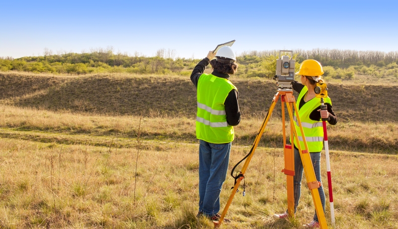
A plat is a graphic representation of a tract of land used to subdivide, combine or develop. Different cities use the platting process to insure property is responsibly developed through different types of plats and different requirements. In general, the city wants to know what you want to do with the property.
Platting starts with giving the city current information on the following items:
- boundary and easement location
- improvements
- street rights-of-way
- utility locations
- drainage
- tree locations
- information on the property in the general vicinity
Depending on the complexity of the area, this may take some time to compile and present to the city in a format that is acceptable to them and includes all required documentation and fees. The fees can range from a couple hundred to several thousand dollars depending on the city and the intended use.
Next, the city will need to know what you want to do with the property to determine if it fits with the planned use in the area and if the required infrastructure is in place. This may require an engineer to review and certify to specific aspects. This step also requires review from multiple departments within a city to insure compliance with zoning and building codes as well as compliance with city ordinances and restrictions that can involve several days to several months. This review allows them to issue building permits once compliance is verified.
The final plat and documentation can then be submitted for final review. Once reviewed and approved the plat can then be filed in the County Records. If you’re looking for skilled commercial land surveyors in Dallas, Votex Surveying Company will provide the services you need. To learn more or request an order, contact us today.

 469-333-8831